|
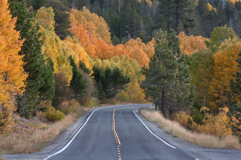
Highway 50, Lake Tahoe
- Highway 50 from Placerville through Lake Tahoe will have color late into the season since it is at a lower elevation. This makes a nice Sunday drive since there are several locations to stop and eat along the way.
- Directions: Highway 50 east, starting in Placerville.
- Season: Mid October – November
|
|
|
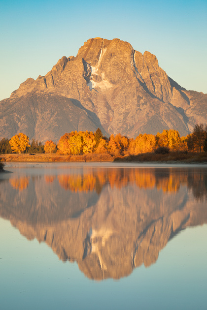
Fallen Leaf Lake
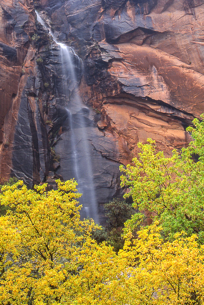
- The road leading back to Fallen Leaf Lake has some nice spots of color. This is a nice side trip if you are already in Lake Tahoe. The Taylor Creek Visitor center is close by and will likely have salmon running this time of year.
- Directions: Highway 50 east to Highway 89 (towards Tahoe City), then left on Fallen Leaf Lake Road.
- Season: Mid October - November
|
|
|
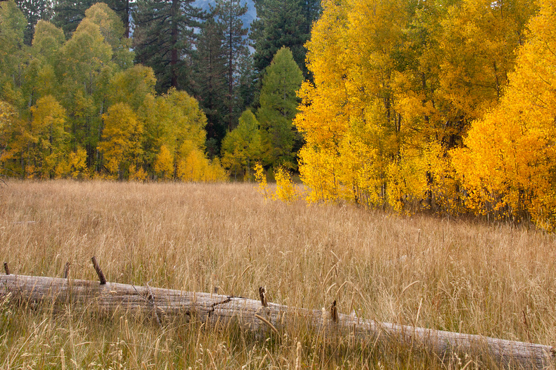
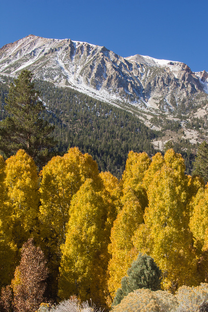
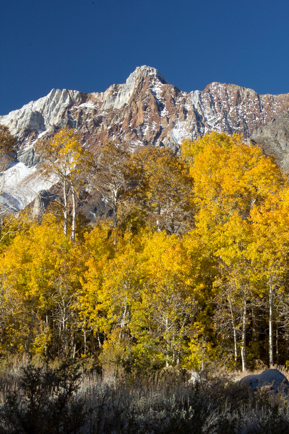
Hope Valley
- Hope valley is a nice spot because you can park and walk around without a lot of crowds. There are a lot of Aspens in this area that turn yellow and orange.
- Directions: Highway 50 east to Highway 89 (Luther Pass Road), continue on Highway 89 until it runs into Highway 88. Hope Valley can be accessed both by turning left or right on Highway 88.
- Season: Mid October - November
|
|
|
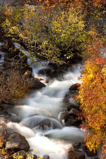
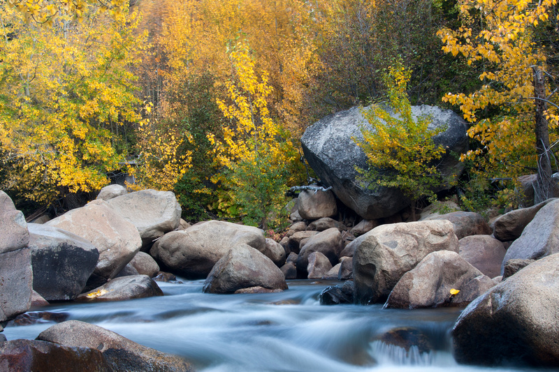
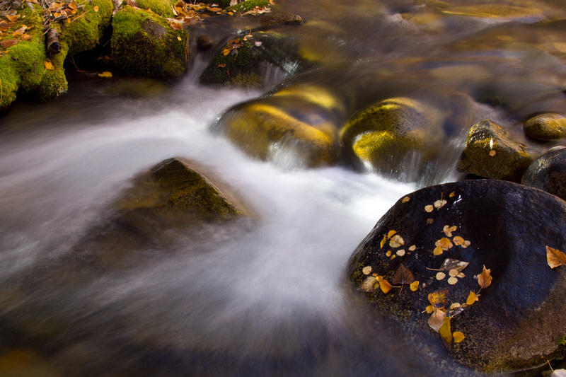
Carson River, West Fork
- The West Fork of the Carson River begins in Hope Valley and runs along Highway 88 towards Markleeville. There are many turnouts along the river to stop and explore. This is a nice spot for a picnic and is near Sorenson’s resort, offering food and lodging. This is also not far from Lake Tahoe, making it an easy daytime or weekend getaway combo trip.
- Directions: Highway 50 east to Highway 89 (Luther Pass Road), continue on Highway 89 until it runs into Highway 88. Turn left on Highway 88.
- Season: Mid October - November
|
|
|
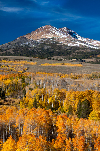
Conway Summit
- This probably isn’t a destination in itself but is an easy pull over spot if you heading south on Highway 395 because the turnout is long with plenty of room for the many cars that will stop once they see the color. There are no services here. This spot is between Bodie State Historic Park and Mono Lake, so if you are planning to visit either/both of these locations, this is worth the quick stop.
- Directions: From Reno, head south on Highway 395 for 125 miles. The turn-out is on your right.
- Season: Mid October - November
|
|
|
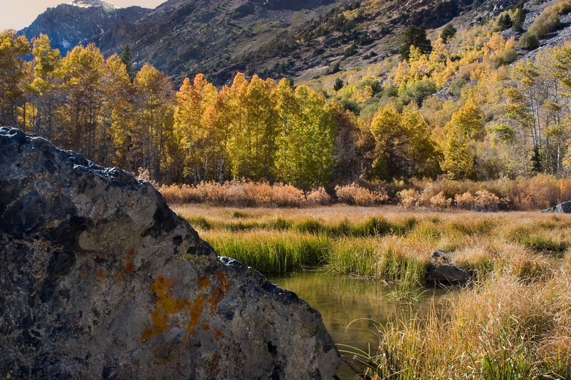
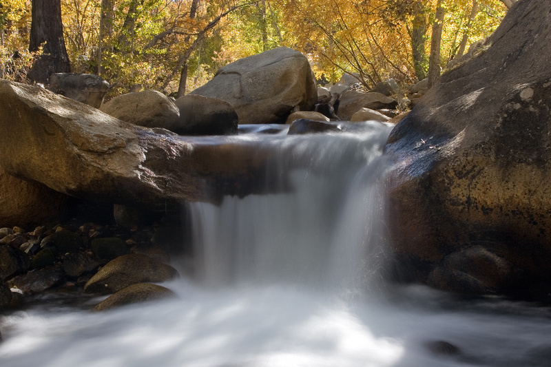
Lundy Canyon
- Lundy Canyon serves as a nice drive, a nice place to make stops to explore, and has a great hike into the canyon with a waterfall.
- Directions: From Reno, head south on Highway 395 for 133 miles. Turn right on Lundy Lake Road and follow as long as you like.
- Season: Mid October - November
|
|
|
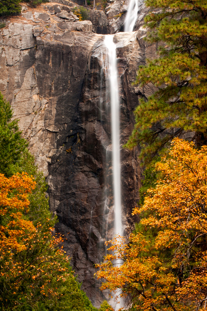
Lee Vining Canyon
- Lee Vining Canyon is on the road into Yosemite so it’s a great side stop if you are already headed that way. There is also a campground and waterfall in this canyon so it can serve as a destination on its own.
- Directions: From Reno, head south on Highway 395 for 140 miles. Turn right on Tioga Pass Road and follow as long as you like.
- Season: Mid October - November
|
|
|
Yosemite
- Yosemite is not a popular fall color destination but the dogwoods, cottonwoods, and black oaks do show some impressive color. Walks along the Merced River will reveal some nice reflections as well. This is also a nice time to be in the park because it isn’t quite as crowded.
- Directions: From Reno, head south on Highway 395 for 140 miles. Turn right on Tioga Pass Road and follow for 12 miles to the entrance station ($20 fee for 7 day pass). This route will take you to the Eastern entrance at Tioga pass and Tuolumne Meadows which eventually leads into Yosemite Valley. Alternatively, from Sacramento, take Highway 99 to Merced, then Highway 140 for 70 miles. This route will take you directly into Yosemite Valley.
- Season: Mid October - November
|
|
|
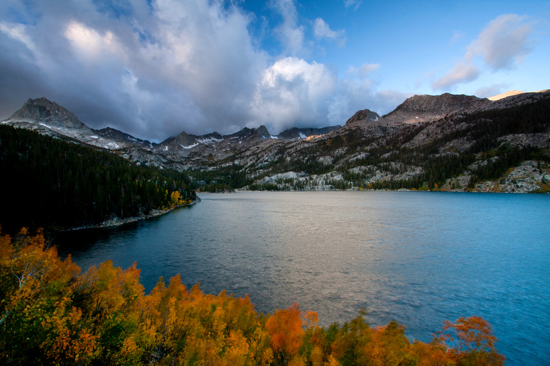
June Lake Loop
- June lake Loop has three lakes: Gull, Silver, and June. Silver and June are the more impressive for scenery and fall color. There are several campgrounds, lodging, and services here as well. This can be a great spot for leaf peeping if the conditions are right.
- Directions: From Reno, head south on Highway 395 for 150 miles. Turn right on June Lake Loop.
- Season: Mid October - November
|
|
|
Convict Lake
- Convict Lake is another location that probably wouldn’t serve as your sole destination. However, this area does have a campground, services, and fishing. It can be incredibly windy here but calm days are quiet nice. There is a road that goes part way around the lake, then a trail from there with colors dotting the water line.
- Directions: From Reno, head south on Highway 395 for 170 miles. Turn right on Convict Lake Road.
- Season: Mid October – November
|

|
|
McGee Creek Canyon
- McGee Creek Canyon has aspens with mountain ranges that can make for a nice sunrise or sunset. There is a campground here but is open seasonally so you might want to check before going. You can park along the road and walk around to some of the aspen groves as well.
- Directions: From Reno, head south on Highway 395 for 174 miles. Turn right on Crowley Lake Drive.
- Season: October
|
|
|
Rock Creek Road
- Rock Creek Road is a quiet meandering road off of Highway 395 with aspen groves and a stream. If you take it to the end at Mosquito Flat, there is a hiking trail, restrooms, and a good spot for a picnic.
- Directions: From Reno, head south on Highway 395 for 180 miles. Turn right on Rock Creek Road.
- Season: September - October
|
|
|
Bishop Creek
- Bishop Creek has some beautiful fall color if you are willing to get out and walk a bit. You can pull over on the side of the road pretty easily and just start walking up or down the creek anywhere you like.
- Directions: From Reno, head south on Highway 395 for 199 miles, then to 168, then to South Lake Road.
- Season: September - October
|
|
|
North, South, and Sabrina Lakes (Highway 168)
- North, South, and Sabrina Lakes are all near each other off of Highway 168 (same route as Bishop Creek), easy to get to within a day. North Lake is a little more secluded than South or Sabrina.
- Directions: From Reno, head south on Highway 395 for 199 miles, then to 168, then to South Lake Road and follow the signs to the lakes you are interested in seeing.
- Season: September - October
|
|
|
Feather River Scenic By-way
- Feather River is in a different direction than the locations listed above but the drive along the river can make a nice day trip on its own. It travels along Butte and Plumas counties on Highway 70 following the Feather River.
- Directions: From Sacramento take Highway 99 North to Highway 70 to Oroville. The by-way starts 8 miles north of Oroville.
- Season: October - November
|
|
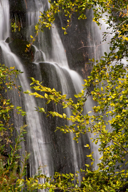
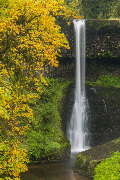 Middle North Falls, Silver Falls State Park, OregonSilver Falls State Park is excellent for fall colors. It has a really nice hiking trail that goes around to the many waterfalls in the park.
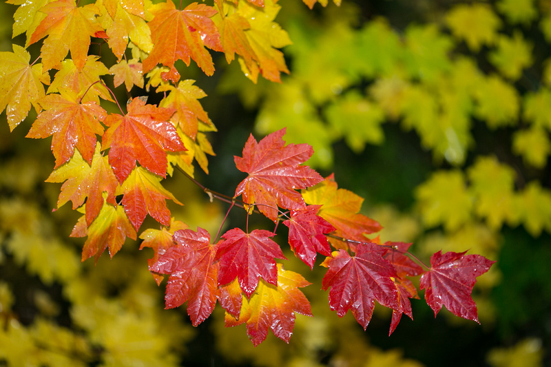 Fall foliage, Rogue River Gorge, OregonThe Rogue River Gorge viewpoint along the Crater Lake Highway in Oregon has a great trail and tons of color that is easily accessible. This was an unplanned stop and I ended up spending a couple hours here.
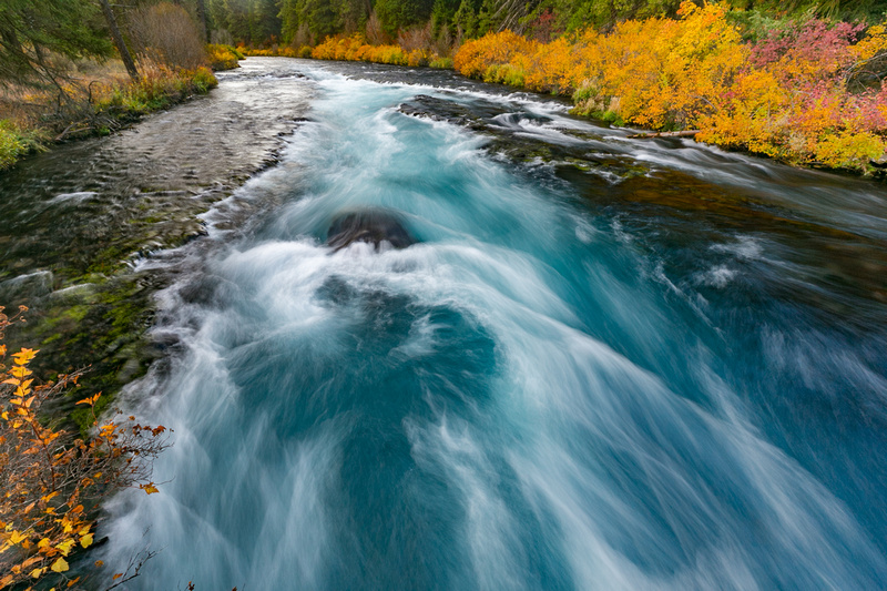
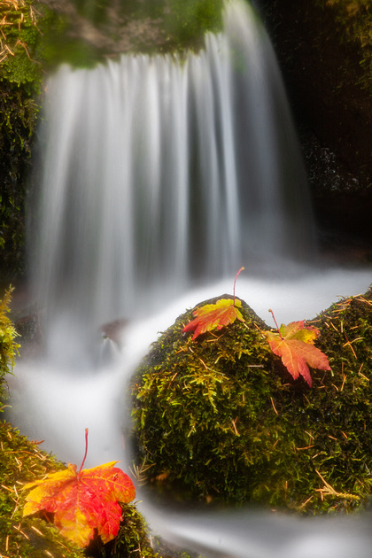 Proxy Falls, Willamette National Forest, OregonThis is a smaller cascade coming off of Proxy Falls with some maple leaves showing their autumn color.