Behind the shot: Cape Kiwanda
Behind the shot: Cape Kiwanda
Text and photos by Heather Cline
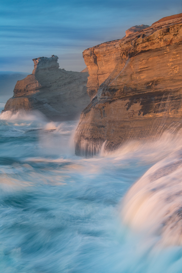
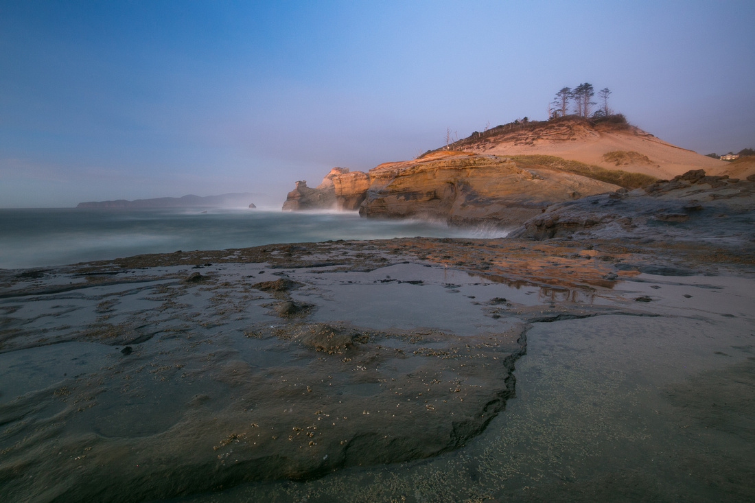
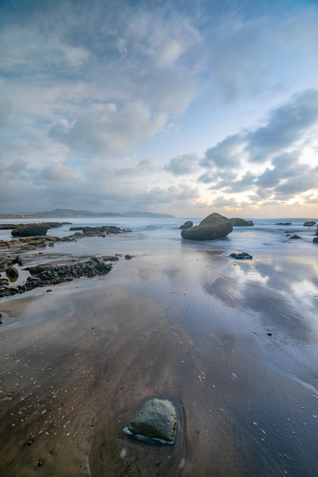
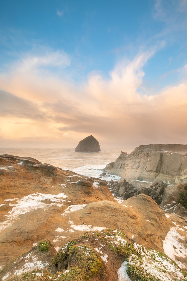
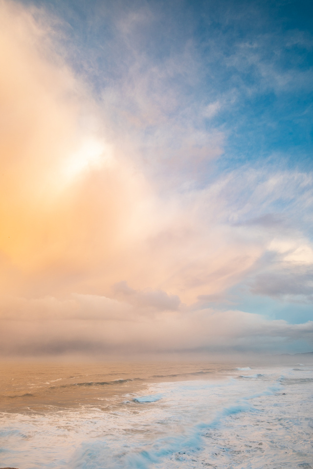
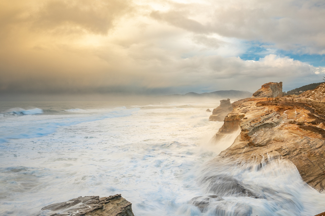
From time to time, I like to post information about places or subjects I have shot, especially if they are difficult to locate, access, or conditions make the shoot more interesting. This article will provide an overview of an area I enjoy photographing on the northern coast of Oregon called Cape Kiwanda. This place is not a secret or difficult to get to. In fact. many, many people come here throughout the year - and that is one of the reasons this location can be challenging to shoot. In case you haven't heard of Cape Kiwanda, it is a unique section of sandstone headland just north of Pacific City, Oregon that can experience massive waves that crash to the tops of the orange colored cliffs. It's quite a sight to see during a high tide and/or when a storm is approaching.
Area: Cape Kiwanda State Natural Area, at the south end of the Three Capes scenic route, a 40 mile scenic loop covering the coast of Oregon west of Portland.
Location: GPS coordinates 45.219 degrees north by -123.975 degrees west
Driving directions:
- From Portland, take US-26/OR-6 for roughly 71 miles to Highway 101
- Take Highway 101 south for roughly 9 miles to Sandlake Road
- Follow Sandlake Road for 12 miles, to Hungry Harbor Road in Pacific City
- Day use parking is located immediately after entering Hungry Harbor Road
- From here, hike north on the beach to the sand dunes. There will be many footprints to guide your way
- Hike to the top of the sand dune and follow the fence line as long as you wish
Parking situation: Ample. The paved day use parking area probably has around 100+ spots and access to a public bathroom. There are restaurants a short walk from here as well.
Trails: Free form walking through sand and sandstone. The area is surrounded by a fence. Crossing the fence line is frowned upon. It was added due to the high number of deaths in the area when people got too close to the crumbling cliffs in an attempt to get the perfect Instragram selfie.
Best time of day to shoot: Sunrise, sunset, night.
Gear:
- Camera with a wide angle to telephoto lens, depending on what you are going for.
- Lens hood for glare
- Polarizer for eliminating reflections
- A tripod if shooting long exposures
- Layered clothing and rain protection for you and your gear
Weather / time of year:
Winter is a great time to photograph this area, and the Oregon coast in general, due to the thunderstorms that come in from the coast. These storms result in dramatic skies and massive waves that make this place special.


