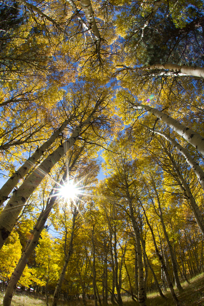
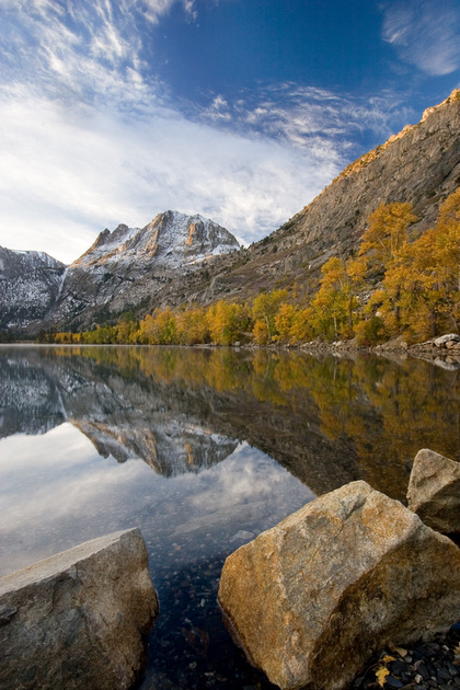
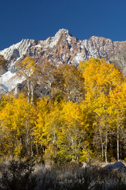
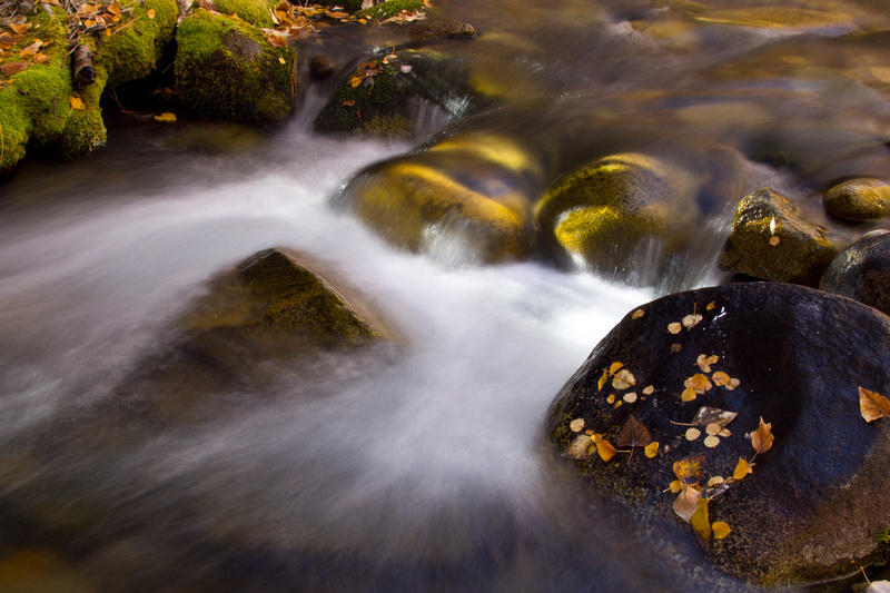
Where to go for fall colors
It's that time of year again! Time to check out all the fall colors nature has to offer. There are many opportunities in California to see the different trees turning from green to yellow, orange, and even red. I have organized a quick guide with photos to help you plan a trip ranging from a Sunday drive to a weekend getaway so you don't miss out.
Click on any photo to view full size in gallery
|
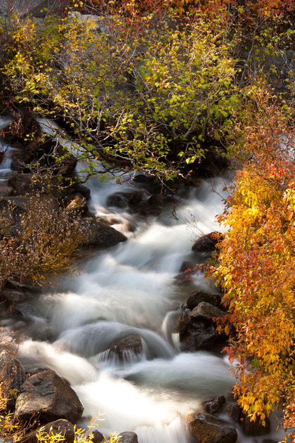
Highway 50, Lake Tahoe
|
|
|
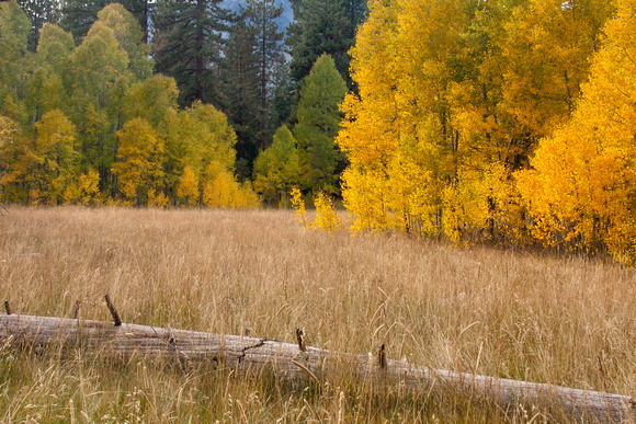
Fallen Leaf lake
|
|
|
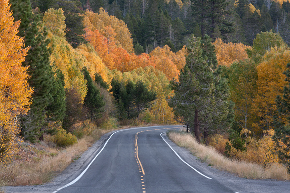
Hope Valley
|
|
|
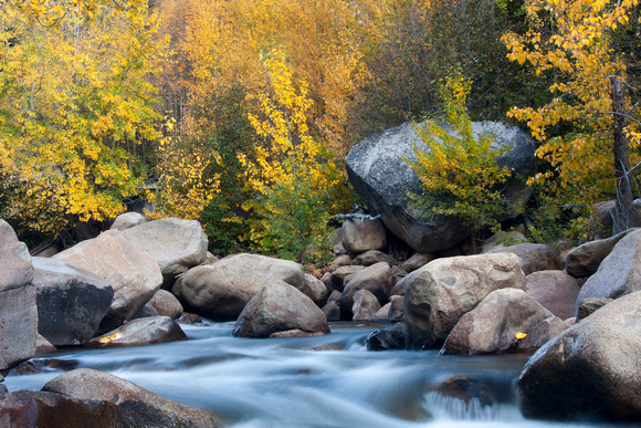
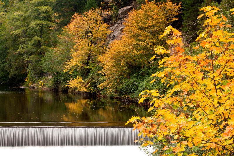
Carson River
|
|
|
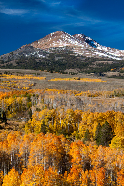
Conway Summit
|
|
|
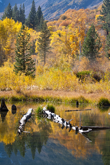
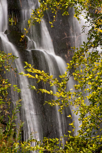
Lundy Canyon
|
|
|
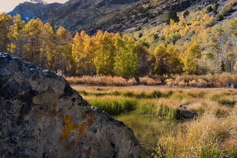
Lee Vining Canyon
|
|
|
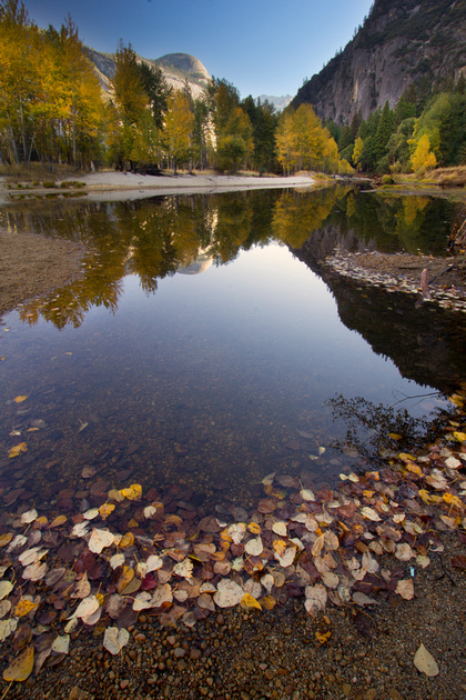
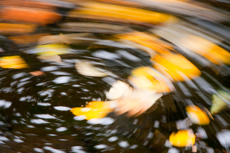
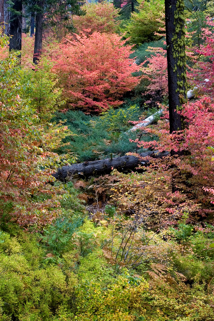
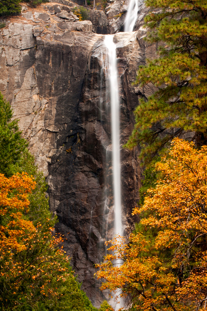
Yosemite
|

|
|
June Lake Loop
|
|
|
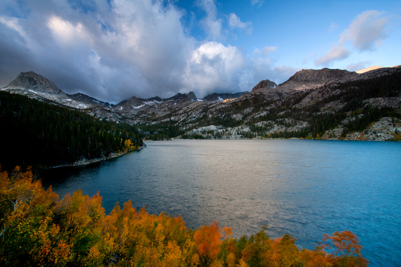
Convict Lake
|

|
|
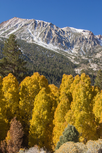
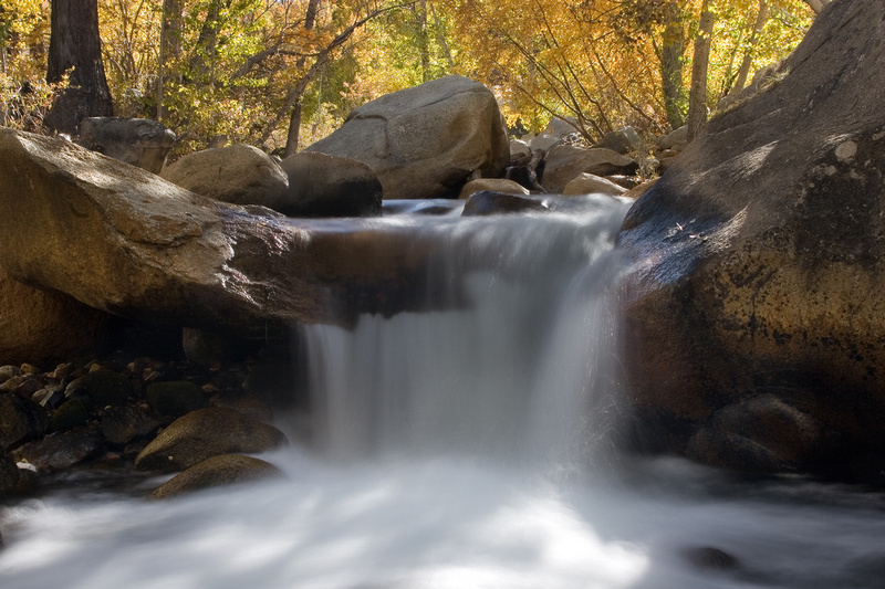
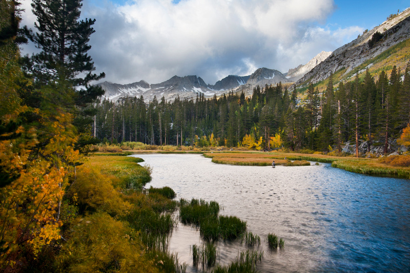
McGee Creek Canyon
|
|
|
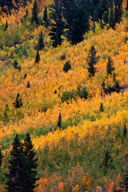
Rock Creek Road
|
|
|
Bishop Creek
|
|
|
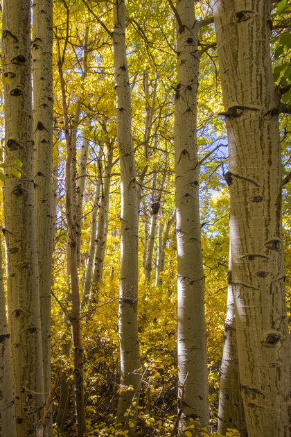
North, South, and Sabrina Lakes (Highway 168)
|

|
|
Feather River Scenic By-way
|
|
Keywords:
aspen,
autumn,
beaver ponds,
bishop,
bishop canyon,
bishop creek,
black oak,
california,
carson river,
color,
convict lake,
conway summit,
fall,
Fallen Leaf Lake,
feather river canyon,
feather river scenic by-way,
highway 168,
highway 395,
highway 50,
Highway 70,
highway 89,
Hope valley,
june lake loop,
Lake tahoe,
lake",
leaf,
leaves,
lee vining,
lee vining canyon,
lundy canyon,
mcgee creek,
mcgee creek canyon,
merced river,
north lake,
oroville,
rock creek road,
sabrina,
season,
silver lake,
south lake,
waterfall,
weir pond,
yosemite,
yosemite falls

Comments
John K.(non-registered)
Beautiful pictures! Great eye, great technique! Thanks for sharing Heather!
No comments posted.
Loading...
© Cline Photography