Location Profile: Lassen National Park
Location Profile: Lassen National Park
Text and photos by Heather Cline
Lassen Volcanic National Park features steaming fumaroles, meadows freckled with wildflowers, clear mountain lakes, and numerous volcanoes. At just over half a million visitors per year, it sees a fraction of the traffic other national parks receive. In addition, the main park road, spanning 30 miles, runs down the center of the park, making it a very accessible and peaceful park to visit.
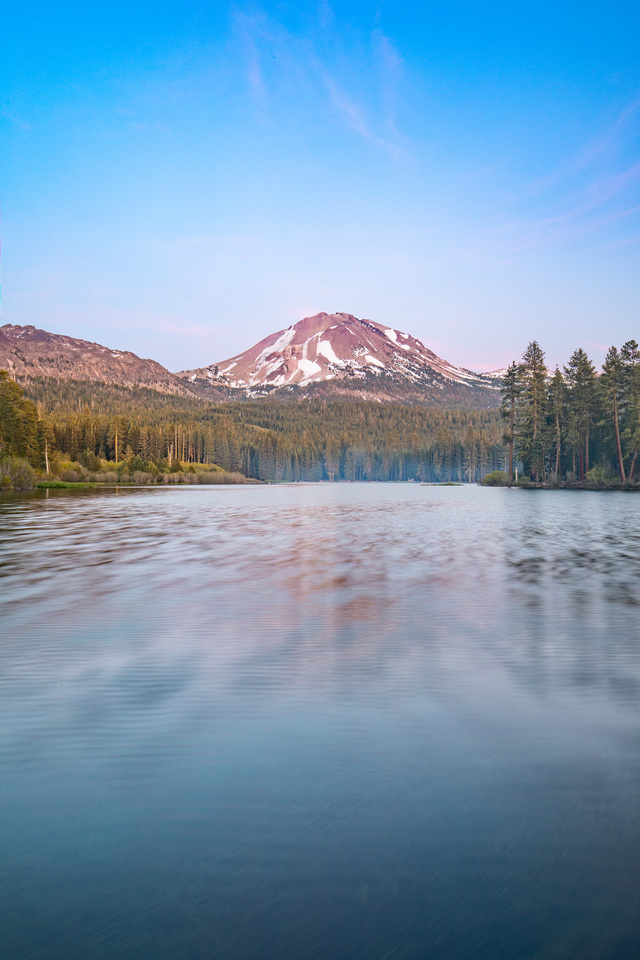 Manzanita Lake, Lassen Volcanic National Park
What is Lassen Volcanic National Park?
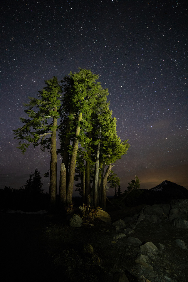
Lassen, established in 1916, is over 100,000 acres and is administered by the National Park Service. It's primary features are volcanoes, Lassen Peak being the most prominent, hydrothermal activity, lakes, waterfalls, and wildlife. Lassen is also designated a dark sky park, making it a great option for star gazing.
Quick Facts
- Entrance fee is $30, good for 7 days
- Open year round, however, access is limited in winter due to snow
- 5 entrance stations (Manzanita Lake, Southwest, Butte Lake, Warner Valley, and Juniper Lake)
- This park offers services: lodging, camping, gasoline, food, general store, showers, dump station, and watercraft rentals
- Limited cell phone reception in the area
- Over 150 miles of hiking trails including a section of the Pacific Crest Trail
 Douglas Squirrel, Lassen Volcanic National Park
When is a good time to visit?
All seasons! The road is open in late spring, summer, and fall. In winter, the main road is closed but open to snowshoeing and cross country skiing. The road can be accessed from both the Manzanita and Southwest entrances. There is a short period of time in the spring when the road is cleared but not open so you can hike or bike the road, which is a unique experience. Springtime will feature significant snow, but some trails will start to open. Summer features meadows filled with wildflowers and rushing waterfalls. Fall is cooler and less crowded with some fall color featured at Manzanita Lake, Hat Meadow, Devastated Area, and valleys in the Southwest Area.
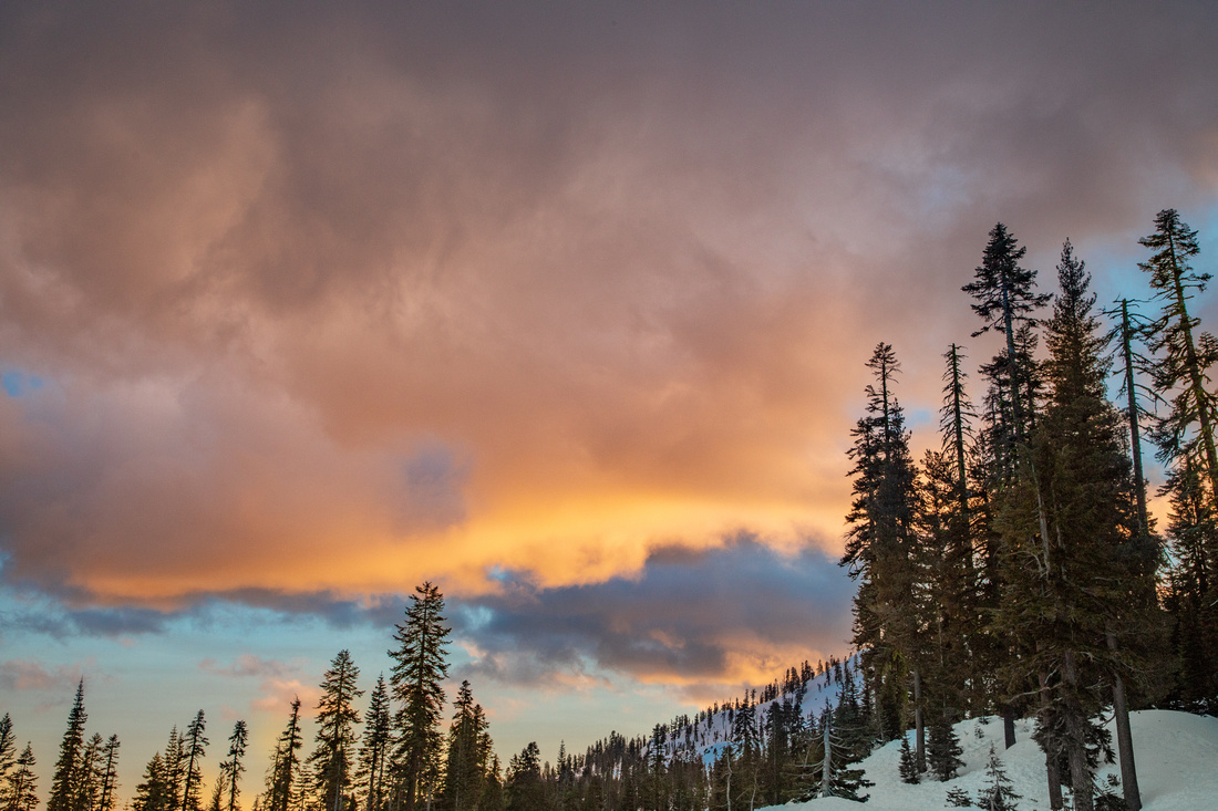 Winter sunset, Lassen Volcanic National Park Winter sunset, Lassen Volcanic National Park
|
Where is this park?
Lassen is located 130 miles north of Sacramento at the southern end of the Cascade Mountain Range. From Sacramento, the most direct route is by Interstate 5 north to Red Bluff, then Highway 36 east. It's roughly a 3 hour drive.
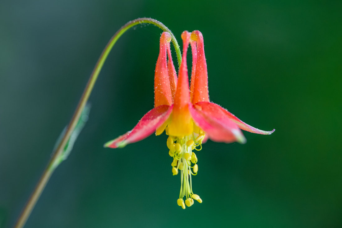 Crimson Columbine, Lassen Volcanic National Park Crimson Columbine, Lassen Volcanic National Park
|
Why should I visit?
Hiking, hydrothermal features, geology, wildflowers, night skies, and photography.
Here are some specific areas and features within this park you might find interesting:
|
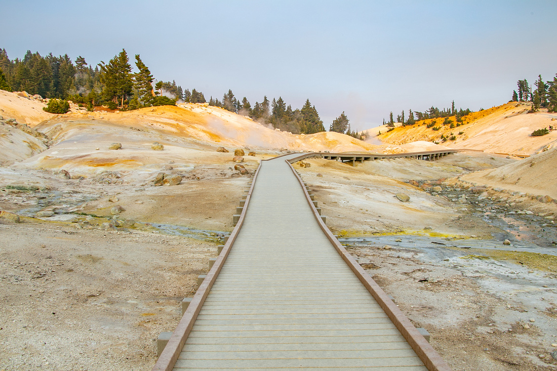
Bumpass Hell Geothermal Area reached by a 3 mile round trip hike, rated as easy |
|
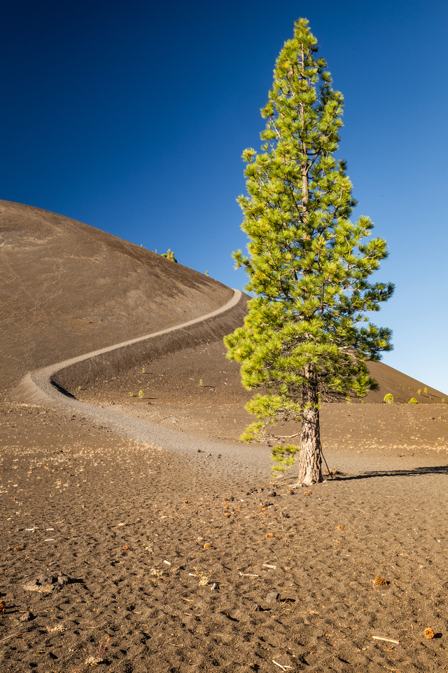
Cinder Cone hiking trail in the Butte Lake area, 4 miles roundtrip rated as strenuous |
|
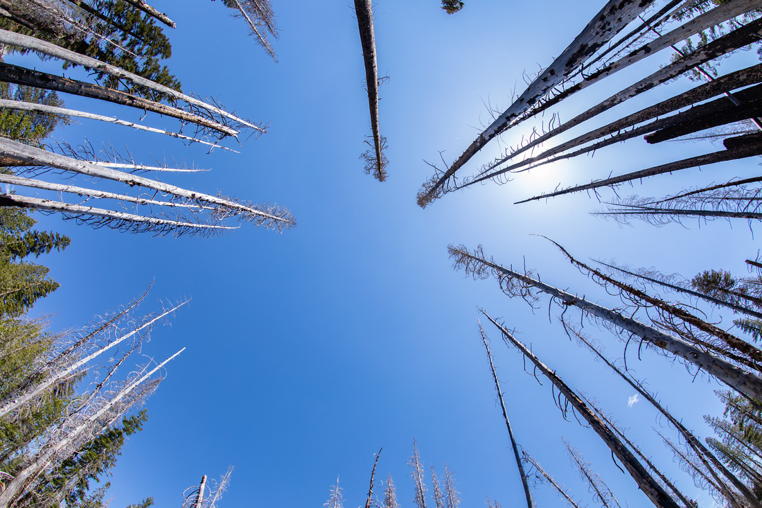
Look-up view of dead trees near Devastated Area |
|
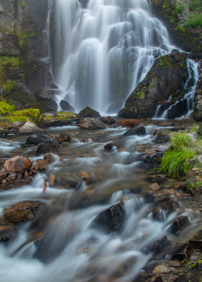
Kings Creek Falls, reached by a 2.3 mile round trip hike rated as moderate |
|
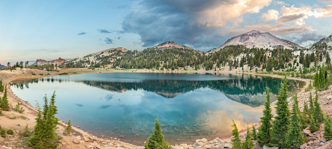
Lake Helen at sunrise |
|
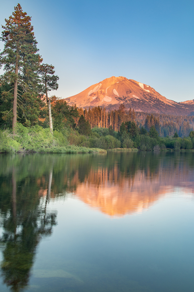
Manzanita Lake at sunset |
|
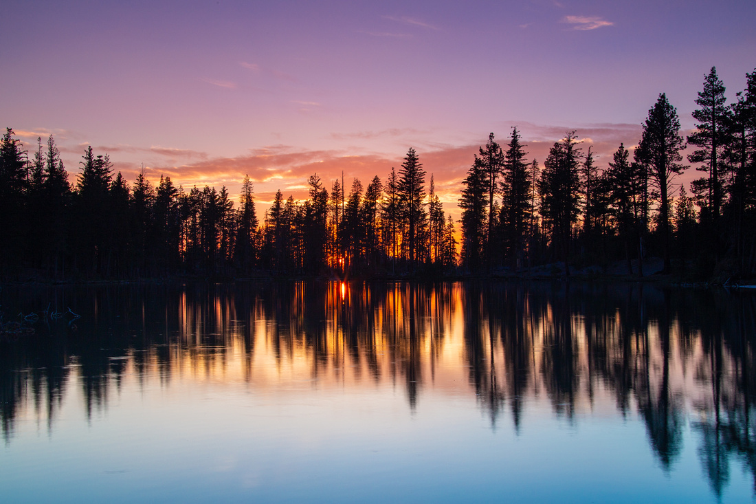
Reflection Lake at sunset |
|
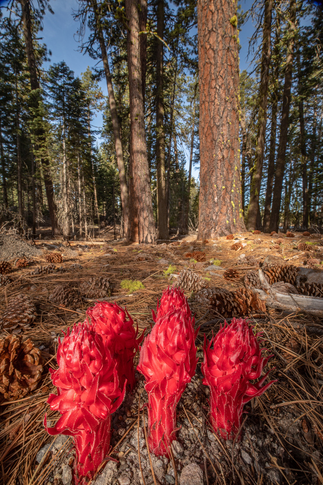
Snow plants in the forest |
|
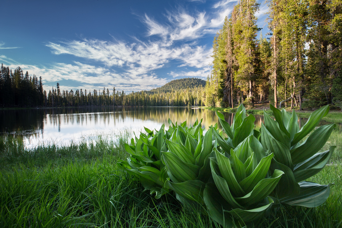
Corn Lilies at Summit Lake |
|
Trees and night skies |
I hope you enjoyed this post. To see more of my Lassen National Park images, check out the gallery here.

Comments
Truman