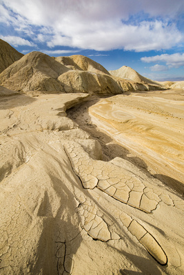
Location profile: Death Valley
Death Valley National Park has become one of my favorite national parks over the past 15 years. I remember the first time I drove through the park, at mid-day, on my way to a photography workshop in Zion National Park. I wasn't impressed and didn't understand why it was a national park. Thankfully, I had planned to camp there for a couple days on my way back home and was able to spend more time exploring. It was during those days that I realized just how special this park is.
Note: Click on any photo to go to the full gallery.
What is Death Valley National Park?
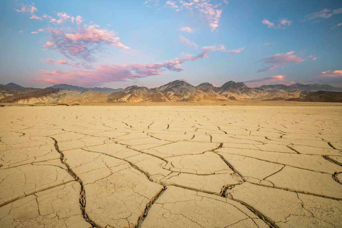
Death Valley is one of our largest national parks at 3 million acres, bordering the northern part of the Mojave desert. It is a relatively "young' national park as it was established in October 1994. It is famous for being the hottest, driest, and lowest national park.
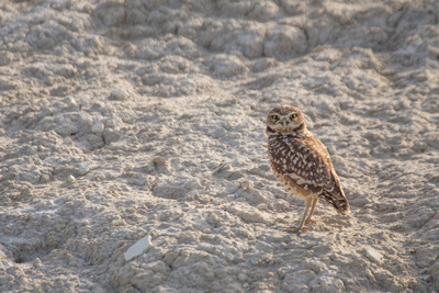
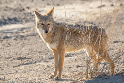
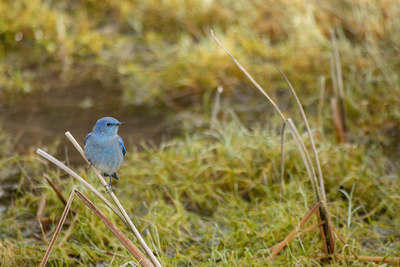
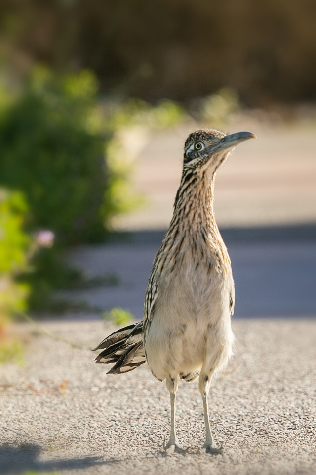
Despite it's harsh conditions, Death Valley is host to a wide variety of plant and animal species. The wildlife here have adapted in unique and impressive ways.
|
Burrowing Owl |
Coyote |
Mountain Bluebird |
Visiting the park:
- The entry fee is $30 as of this writing, and good for 7 days
- There are 12 campgrounds and 4 lodges within the park. The area with the most services and visitor center is Furnace Creek.
- There is limited cell phone reception in the area, with Furnace Creek being a reliable spot for service.
- While there are good, paved roads running through the park, many of the features are only accessible via gravel roads. Most can be accessed in a passenger vehicle while others require high clearance 4 wheel drive.
- When it does rain, roads can be washed out and canyons dangerous. The visitor center is a good place to confirm weather conditions before heading out.
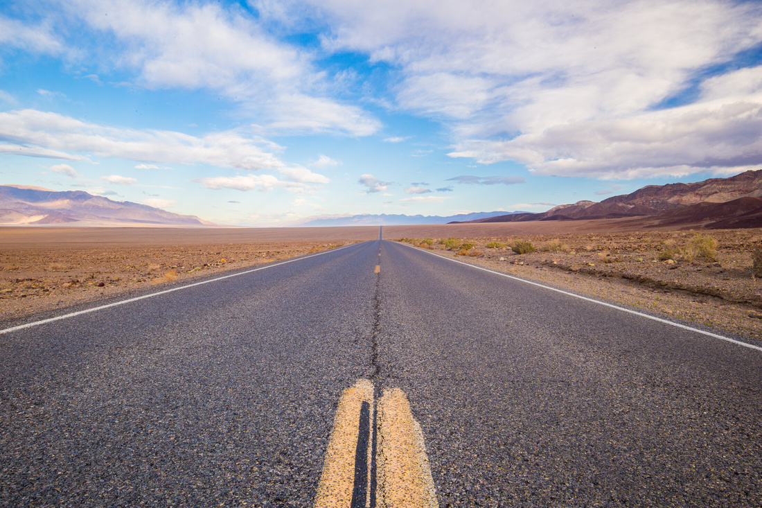
Highway 190
When is a good time to visit?
- Spring time can bring massive fields of wildflowers and pleasant temperatures.
- Autumn also offers comfortable temperatures and clear skies.
- Winter is cooler, and can get very cold at night, but is less crowded.
- Summer is the busiest and hottest time to visit the park with temperatures commonly exceeding 110 degrees. This is the one season I have not visited the park - and have no plans to in the future!
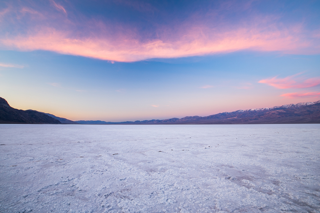
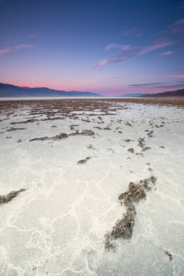
Badwater Basin
Where is Death Valley?
Death Valley is located on the eastern border of Southern California, roughly four hours north east of Los Angeles and 2 hours west of Las Vegas. The closest major airport is in Las Vegas.
The desert portion of the park is surrounded by mountains:
- Amargosa Range on the east, including the Black, Funeral and Grapevine Mountains
- Panamint Range on the west , including the Cottonwood Mountains, which is what blocks most of rain coming into the park.
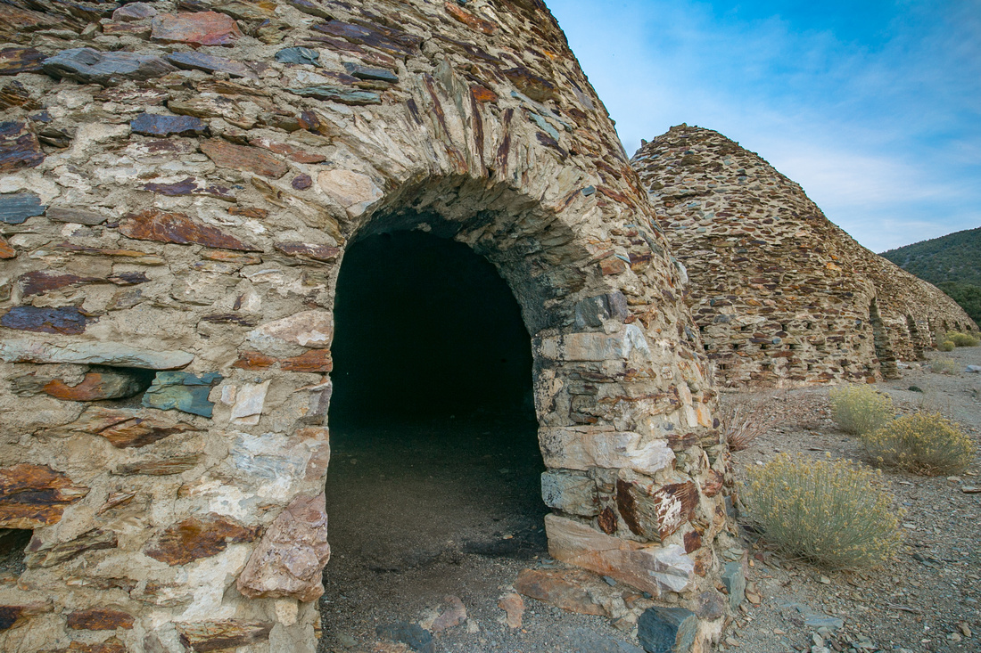
Charcoal Kilns
Why should I visit?
- Geology
- Hiking
- Dark skies
- Historical features
- Photography
- Wildlife
- Variety of landscapes
- Star Wars used this as a filming location!
|
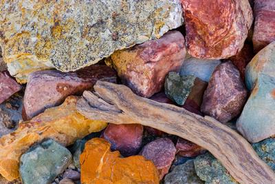
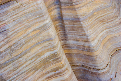
Golden Canyon Rocks |
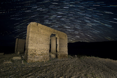
Ashford Mill Ruins |
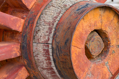
Harmony Borax Wagon Wheel |
Some notable features in this park
As I mentioned, Death Valley is quite large and there is much to see. You could spend a week here and not see everything. These are just a sampling of some areas of interest within the park.
|
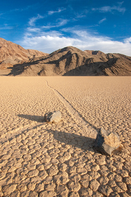
Racetrack Playa |
Eureka Dunes |
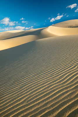
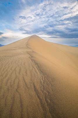
Mesquite Flat Dunes |
|
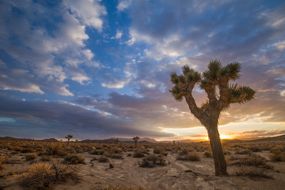
Joshua Trees |
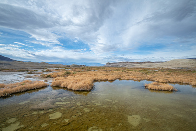
Salt Creek |
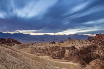
Zabriskie Point |
|
Twenty Mule Team Canyon |
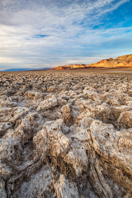
Devil's Golf course |
Badwater |
|
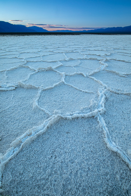
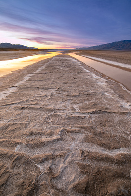
Salt Pans |
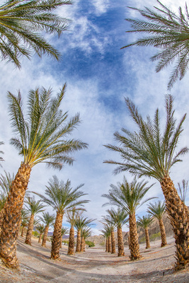
Date Palms |
Salt Flats |
|
Mosaic Canyon |
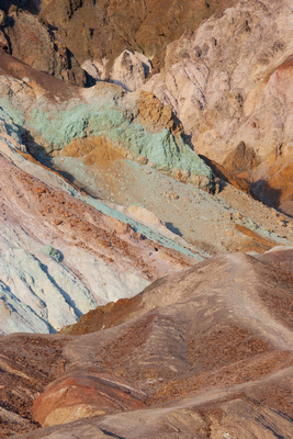
Artists Drive |
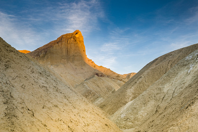
Golden Canyon |
|
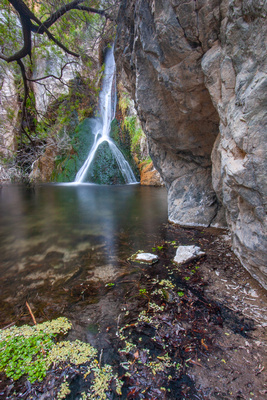
Darwin Falls |
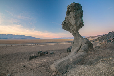
Mushroom Rock |
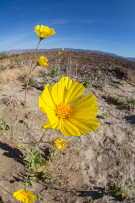
Wildflowers |
Fun Fact:
Badwater, the worlds toughest foot race, begins in Badwater Basin which is 282 feet below sea level. The route travels 135 miles to Whitney Portal, at 8,360 feet above seas level. To make it even more challenging, it is held in mid-July when temperatures average 116 degrees!
I hope you enjoyed this post! Click here If you would like to see the full gallery.

